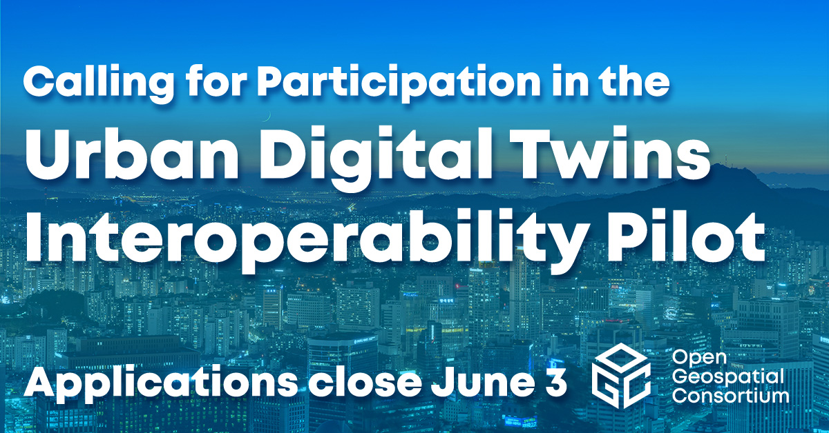
OGC Newsletter - November 2006
CONTENTS


DEPARTMENTS:
New Members, OGC In The News, Events, Contact, Subscribe/Unsubscribe
Back issues of OGC News are available.
![]() |
PRESIDENT'S MESSAGE
OWS-4 Marks the OGC's Progress
Important capabilities are being advanced in our OGC Web Services 4 (OWS-4) testbed initiative. In each thread of this diverse testbed we can see that we have come a long way. Sensor Web Enablement (SWE), Geo Processing Workflow (GPW), Geo Decision Support (GeoDSS), Geo-Digital Rights Management (GeoDRM), CAD/GIS/BIM, OGC Location Services (OpenLS) and Compliance Testing (CITE) all began in OGC as proposals, and most have resulted in practical and important specifications that will be demonstrated in the OWS-4 demo next month. Also of note is the fact that OWS-4 requirements have been supported by eleven sponsors, with more than 66 organizations participating in the testbed. OWS-4 is expected to deliver 56 reference implementations (technologies that use OWS-4 candidate standards), and 36 Interoperability Program Reports, a subset of which will represent potential new or extended OGC standards.
We have a vibrant AEC/CAD/Geospatial thread underway in cooperation with the International Alliance for Interoperability (IAI) and the National Institute of Building Sciences (NIBS). And very appropriately, the OWS-4 testbed demonstration will take place, once again, in the New York City and New Jersey area. The OGC's SWE effort was born as a standards framework in New York City back in 2001, with requirements from the U.S. Environmental Protection Agency (EPA) and others, and with use cases, geospatial information and infrastructure offered by the New York City Department of Information Technology & Telecommunications (DoITT). SWE is now approved and its key specifications are moving toward public release later this year. It is being applied in the current OWS-4 testbed in the context of emergency management and emergency response use cases. We expect products using these interfaces to follow.
The OWS-4 scenario involves facility planners, first responders and others who need to leverage geospatial, sensor-derived information and building models to accomplish their mission. The ability to publish, discover, access and apply these information sources to plan and to respond to an emergency event is the focus of the upcoming demonstration. As part of the demonstration, the full range of OGC geospatial and SWE standards as well as CityGML and standards from our alliance partner organizations (IEEE, OASIS, IAI-NIBS) will be exercised against sponsor use cases. The demonstration will take us via interoperable Web services from the macro view of the geospatial landscape into the internal environment of a building.
We have completed an important lap in the course of advancing OGC standards. Much of what was just being defined back in 2001 is now broadly implemented in the market. Other standards that were just being defined then have been significantly expanded upon and are moving toward market applications.
The OWS-4 demo promises to be a memorable event, a tribute to the contributions of hundreds of OGC members who are responsible for the progress made since 2001. The value of this progress is incalculable. When we remember the limitations of five or ten years ago and see what is possible now, it is clear that OGC standards will benefit many millions of people.
Mark Reichardt
President
Open Geospatial Consortium, Inc.
![]() |
STATISTICS CANADA GML UPDATE
Last month I noted Statistics Canada's road network file product in GML format. I included an incorrect URL. This is the correct URL for access to the 2005 and 2006 versions of the road file.
This month there's more data in GML format from Statistics Canada: a series of free boundary files (2006 Census) in GML format (among others).
![]() |
NEWS AND OPINION FROM THE BLOGOSPHERE
Discussions of OGC specifications and interfaces are popping up all over the blogosphere (the world of blogs). A few posts worthy of note follow.
Paul Ramsey offers a series of posts at his Geotips blog on Spatial Data Infrastructures. They are titled: "Making SDIs Work," "Must SDIs Fail?" and "Why SDIs Fail." In the "good news" portion of "Must SDIs Fail?" he points to the progress made in uptake and use of OGC's Web Map Service Specification and the current work bringing Web Feature Service support up to speed.
"The WMS specification is fully proven, and now widely implemented. Most importantly, it is implemented in proprietary desktop tools with wide user bases. When you think about the product development and release cycles involved, getting a new standard into a product is a pretty complex dance.
"The WFS specification is on "phase one" of widespread adoption -- a number of vendors have implemented half-assed attempts at WFS clients. The next round of attempts will probably be much better and useful, which will in turn charge up the relevance of the technology."
Danielle Plumer, writing at the LITA Blog (Library and Information Technology Association) describes a session titled Implications of Interoperable Systems and Geographic Information to Libraries at the LITA Forum 2006 by two librarians from University of Illinois Chicago.
"Chieko Maene began the session with an overview of Web services, particularly the concepts of reusability, information sharing, and service orientation. She focused on the Open Geospatial Consortium (OGC) and its standards for Web Map Services (WMS) and Web Feature Services (WFS). The Web Map Service was first described in 1999 and became an ISO standard in 2005."
![]() |
WEBSITE OF THE MONTH
JVNWebGIS
JVNWebGIS is a website that provides maps and information of Ho Chi Minh City, Vietnam. It was developed by JavaVietnam.org and CIREN Vietnam.
Vietnam is the destination for the new century and Ho Chi Minh City is the biggest city in Vietnam. Because of its fast growth, tourists and explorers will find this website useful. There is a detailed map of Ho Chi Minh City with streets, land marks, rivers, buildings, hotels... It's possible, if you have an account, to bookmark your own points of interest on this map. There is also statistical information about the administrative unit of Ho Chi Minh City including population, area, education and other things.
Maps and tools of the JVNWebGIS. An English version may appear in the future.
- New design: Not only cascading style sheets, (CSS) but also many other customizations for a better, tidy and friendly look.
- New search feature using AJAX technology.
- New "feature info" page: Gives more details of feature information.
- New "view on map" feature: When viewing detail information of a feature, a user can click on a "view on map" button to see instantly where this feature is on map.
- New "Add/Modify/Remove Feature": Users can view and interact on the map view to add/modify/remove their own features.
- New combo box module to view pre-defined map area.
- New scale bar.
Thanks to Khanh Le Ngoc Quoc for sharing this application. He asks that requests for information, feedback and bug reports be sent to Khanh.LNQ (AT) JavaVietnam.org.
Know of a website that uses OpenGIS specifications to solve a real world problem or demonstrates an interesting use? Or of a website that enhances the use and understanding of OGC's work? Drop the adena [at] opengeospatial.org (editor) an e-mail with the details including the URL, organization behind the website, specifications used, technology used and the goal of the website.
![]() |
NEW MEMBERS
OGC welcomes new members who joined us recently.
British Telecommunications plc. (UK)
Associate
Purdue University (U.S.)
University
TNO Built Environment & Geosciences (The Netherlands)
Research Institute / Not For Profit Institute
University of Texas at Austin (U.S.)
University
![]() |
OGC IN THE NEWS
- OGC in the Press
Disaster Prediction, Social Networking Boosted by Geo-Data Feeds
National Geographic
Oct 19, 2006
Carbon Project Selected to Map Cyber-Physical Infrastructure Connections
Oct 20, 2006
- OGC Press Releases
Mash-Up Event to Unite Leading Minds from the Geographic Information Industry
October 12, 2006
OGC Appoints European Business Development Director
October 6, 2006
![]() |
EVENTS
November 6-10
Santiago, Chile
GSDI 9
November 13-16, 2006
Orlando, Florida
GEOINT
November 14-15, 2006
Riyadh, Saudi Arabia
ISO/TC 211 23th Plenary
November 27-29, 2006
Torrejon air base - Madrid (Spain)
ESA-EUSC 2006: Image Information Mining for Security and Intelligence
December 11-14, 2006
San Diego, CA
OGC Technical and Planning Committee Meetings
January 22-25, 2006
Hyderabad, India
Map World Forum
For further info on events please contact gbuehler [at] opengeospatial.org (Greg Buehler).
![]() |
CONTACT
Please send comments and suggestions to:
adena [at] opengeospatial.org (Adena Schutzberg)
Editor, OGC News
Open Geospatial Consortium, Inc.
35 Main Street Suite 5
Wayland MA 01778-5037
USA Phone: +1 508 655 5858
Fax: +1 508 655 2237
![]() |
SUBSCRIBE/UNSUBSCRIBE
To subscribe send mail to: newsletter-request [at] opengeospatial.org
with "subscribe" (no quotes) in the subject.
To unsubscribe send mail to: newsletter-request [at] opengeospatial.org
with "unsubscribe" (no quotes) in the subject.
Visit our subscription page
![]() |
Copyright 2006 by the Open Geospatial Consortium, Inc.