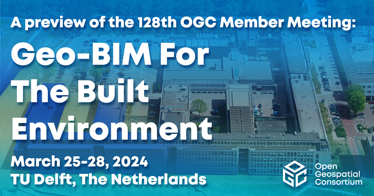
OGC Newsletter - January 2002
CONTENTS
The View From Here
Presidents Message
News From the Critical Infrastructure Meeting
OGC at GITA
Available Specifications
Implementations of OGC Specifications
Interoperability Program
Member Corner
New Members
OGC In The News
Events
Contact
Subscribe/UnsubscribeBack issues of OGC News are available.
![]() |
THE VIEW FROM HERE
It comes as no real surprise that the events of the last few months have caused a renewed interest in how spatial systems, spatial data and spatial people work together. New York City staffers worked closely with experts from the many public and private organizations that donated their talent together with data, hardware and software to assist in the rescue, recovery and rebuilding efforts. I want to encourage all our readers to learn from and call upon insights from their experiences to underscore how your work in geospatial technology makes a difference.
Adena Schutzberg
Editor, OGC News
adena [at] opengeospatial [dot] org
![]() |
PRESIDENTS MESSAGE
OGC Strategic Alliances
The spatial technologies industry plays a critical -- and growing -- but still under-appreciated role in government, business, and academia.
Strategic relationships allow us to better participate in policy discussions involving interoperability and business issues related to spatial technologies for the benefit of both users and providers of these technologies.
We find that we are increasingly able to work with other organizations to drive spatial technology and affect policy. Last month, OGC and the Spatial Technologies Industry Association (STIA) of Washington, DC, signed a memorandum of understanding committing to more active collaboration in identifying and advancing public policy and interoperability issues on behalf of the spatial technologies industry. Several months earlier, OGC and the Geospatial Information & Technology Association (GITA), Aurora, Colorado, agreed to work together on joint educational and market development activities to benefit the members of both organizations and the geospatial community as a whole. Another agreement will be announced soon with a major wireless industry organization.
Strategic alliances are not new to OGC. For example, since 1995 our longstanding relationship with the Federal Geographic Data Committee (FGDC) has focused on outreach, policy, and understanding and meeting the geospatial interoperability requirements of government. We participated significantly in Digital Earth activities, promoting and providing a standards framework, and we play a similar role when national mapping agencies and other organizations convene for Global Spatial Data Infrastructure (GSDI) meetings. The International Society for Photogrammetry and Remote Sensing (ISPRS) and America's ASPRS have given us opportunities to tell our story to their members. Our years of correspondence and meetings with EUROGI and JRC in Europe have resulted in a far-reaching project called GINIE (Geographic Information Network in Europe).
Our strategic relationships with other standards organizations have helped us steer the best course relative to broad technology trends, helped our OpenGIS Specifications gain acceptance, and helped other organizations fill gaps in their approaches to spatial processing. Most notably, our relationship with ISO TC/211 has evolved to become a model for cooperation between industry consortia and de jure standards organizations, setting a precedent that shapes our relationship with TC/204. Our membership in the Object Management Group (OMG) and OMG's membership in OGC have been valuable for the members of both organizations. OGC staff and representatives of W3C and IETF, key standards organizations for the Web and Internet, meet to ensure that our efforts complement each other. We maintain positive communications with the IETF, SEDRIS, the WAP Forum, LIF and many other groups that benefit from connecting with a standards initiative that gives their stakeholders access to an extraordinary and otherwise inaccessible technology domain.
Of course, it's worth noting that every membership in OGC is mutually strategic. Among other benefits, OGC membership gives our members strategic access to one another. Virtually all our members help us in at least a small way to reach a wider set of stakeholders and potential members, and every implementation of an OpenGIS Specification takes us closer to realizing our vision.
It's easy to conjecture that all this growth in organizational connectivity springs from the growth of physical connectivity in the world, but from my perspective, the driving factor is people finding common cause.
David Schell
President, Open GIS Consortium
![]() |
NEWS FROM THE CRITICAL INFRASTRUCTURE MEETING
Recently, OGC had the opportunity to attend the "Federal Convention on Emerging Technologies, a forum on Homeland Security" held in Las Vegas on Jan 7-9. Key federal decision-makers discussed the impact of new technologies as they relate to recently developed and modified initiatives for and between their respective organizations. There were some fascinating presentations from various industry and government leaders, such as BGEN Michael Ennis, Head of Intelligence, USMC; Gilman Louie, President and CEO, In-Q-Tel; and Dr. Ruth David, President and CEO, ANSER.
OGC shared a booth with OGC member Polexis. We briefed visitors on the role geospatial data plays in homeland defense. The major discussions in the working groups dealt with "What are the threats for homeland defense?" There was little discussion on how to "attack" the problem. I am pleased to report that the Critical Infrastructure Protection Initiative (CIPI), now in planning by OGC per OGC Government Special Interest Group request, provides a mechanism to address nearly all the concerns raised about geospatial data interoperability.
Terry Idol
Deputy Director
OGC Interoperability Program
BAE Systems
![]() |
OGC AT GITA
From 17 - 20 March 2002 attendees of the GITA National Conference in Tampa, Florida will be able to see first hand many examples of interoperability in action. OGC members will demonstrate a wide array of interoperable product offerings as part of an interoperability demonstration that features Open GIS implementations from across the vendor community. Through LAN and dial up connections, vendors will demonstrate how their products take advantage of OGC interfaces to optimize discovery, access, integration and application of geospatial information and applications distributed at various locations across the Internet.
To date, GE Smallworld, IONIC Software, ESRI, Intergraph, MapInfo, Safe Software, Cadcorp Inc., and Dawn Corporation have agreed to participate.
There are still opportunities for member organization to join this exciting live demonstration but time is running out. For more information visit http://www.ogcnetwork.org/gita/showfloordemo.html or contact Greg Buehler, gbuehler [at] opengeospatial [dot] org"> gbuehler [at] opengeospatial [dot] org.
Conference attendees are encouraged to visit each of the participating vendors for a chance to win a high-tech prize. In addition to the demonstration, OGC will be active in several panels.
On Tuesday, March 19, 2002, 3:13-5:00pm, Bruce Cahan of Urban Logic, Inc. will moderate a panel on the rescue and recovery that followed the disaster at New York's World Trade Center. Representatives from local agencies and utilities in New York City and the Open GIS Consortium will relate their experiences with data security, discovery, access and fusion, and the ability to integrate and share that data.
On Wednesday March 20 at 1:00 pm the OGC will join the FGDC for a roundtable, moderated by Milo Robinson of the FGDC, focusing on the advancing capabilities and challenges related to the ability of spatial data infrastructures to support collaborating communities. At the same time, OGC's Cliff Kottman will moderate a panel on Web Mapping, highlighting the functionality and use of OGC interfaces.
Further details on sessions and registration information
is available at the GITA website, www.gita.org.
![]() |
AVAILABLE SPECIFICATIONS
A new Recommendation Paper, the Recommended Definition Data for Coordinate Reference Systems and Coordinate Transformations, is available. It is dated April 5th, 2001.
http://www.opengeospatial.org/specs/specs.htm
![]() |
IMPLEMENTATIONS OF OGC SPECIFICATIONS
- Implementations
The Finnish Geodetic Institute's NAVImap 1.0 is the latest product to implement a server version of Web Map Server Implementation Specification, 1.1.0.
If you have any questions, concerns, or suggestions or if you wish to add your OGC based products to OGC's implementations listing please contact Mark Buehler, mbuehler [at] opengeospatial [dot] org.
Implementations of OGC Specifications
http://www.opengeospatial.org/cgi-bin/implement.pl
![]() |
INTEROPERABILITY PROGRAM
The OGC Interoperability Program (IP) is a global, collaborative, hands-on engineering and testing program designed to deliver proven candidate interface specifications into the OGC Specification Development Program. This month we introduce some new initiatives and provide updates to work in progress.
Critical Infrastructure Protection Initiative (CIPI)
The OGC Critical Infrastructure Protection Initiative (CIPI) takes a new approach to helping organizations publish, discover, access, exchange, and maintain vital geospatial information and online geoprocessing services required to support Homeland Security. Currently in the planning stages, CIPI leverages the development and collaboration activities of previous and ongoing OGC Interoperability Initiatives, making particular use of emerging OGC Web Services and object-based spatial domain models. CIPI will also address security requirements across communities that need to collaborate to detect, prevent, plan for, respond to, and recover from threats. A collaborative effort, CIPI will be conducted in coordination with national-level government organizations from multiple countries and a variety of commercial Sponsors. These Sponsors are committing to support the initiative and are setting the requirements that will shape its testing and development activities.
Multi Hazard Mapping Initiative (MMI-1)
The Federal Emergency Management Agency (FEMA) has sponsored an OGC Pilot Project to enable the sharing of multi-hazard mapping data between federal, state, and local governments. Through the MMI-1, emergency managers will be able to locate, retrieve and exploit multi-hazard mapping data from any of the participating agencies. For phase one, participants will include FEMA, at least five state governments, and OGC members CubeWerx, Compusult, SAIC, ESRI, and MapInfo. This pilot will become an operational part of the OGC Network in April 2002.
Open Web Services Demonstration (OWS1)
The OWS1 initiative will culminate in a demonstration event to be held in early March in the Washington, D.C. area. Participants, sponsors, and invited guests will gather to display, discuss, and view the technology developed throughout this effort. As in other OGC demonstrations, the data and demo activities are coordinated around a unifying scenario: emergency response and recovery efforts in New York City. Individual vignettes comprising the demo activities include collecting real-time air and water quality data, styling and rendering of multi-spectral imagery from satellite and airborne instruments, publishing and discovery of online map data sets, and combining vector, image, and sensor data into unified map displays.
Open Location Services (OpenLS)
The OpenLS-1 team is preparing for two OGC-sanctioned demonstrations this year, one in Europe and one in North America. The group held a very successful Technical Exchange Meeting on the 17th and 18th of January in the UK and took three specific steps: They (1) scheduled the European demonstration for June 26 and 27 to be hosted by SICAD in Munich, Germany, (2) worked the specifications to near conclusion (teleconferences the week of 21-25 January closed them up), and (3) gained final commitments from the participants about which company will provide what services for both the Test and Integration Experiments (TIE) and demonstrations.
The specifications approved for TIE execution include:
Geocoder Service, Reverse Geocoder Service (Get Location)
Route Determination Service
Interface Encoding Requirements, XLS (ADT) Requirements
Directory Service
Presentation
Gateway Service
OpenLS Architecture, OpenLS Abstract Model (UML)
Point of Interest, Address, Location, Route, Route Directions,
Route Manuever, Map
TIEs will be conducted using the interfaces defined in these specifications and then those interfaces will be used to construct demonstrations.
Organizations interested in sponsoring or participating in OGC Interoperability Program initiatives should contact Jeff Harrison at (703) 491-9543.
Jeff Harrison
Director, OGC Interoperability Program
![]() |
MEMBER CORNER
AGIS at the University of the Bundeswehr Munich is a joint research group of Prof. Dr. W. Caspary from the Institute of Geodesy and Prof. Dr. W. Reinhardt from the Institute of Geoinformation. AGIS currently consists of 15 researchers, most of them heading for a PhD degree. The main research topics range from data quality, interoperability, visualization - especially on small displays - and automated updating of geodata using remote sensing to location-based services.
AGIS has studied the usability of the OGC specifications and the ISO/TC 211 standards for the German cadastral system and the military geospatial defense mapping fundamental database. With the maturing of the GML specifications V1.0 and then V2.0, AGIS has started to implement these XML interfaces as prototypes. This will enable the Bundeswehr Geographic Office (the imagery and mapping agency of the German Armed Forces) to describe and transfer its application schemas as well as its data in the standardized language for geodata, GML. These prototypes have proven that GML is a suitable language for the interchange of topographical data. AGIS also is developing a prototype of a location-based service for mobile outdoor users such as mountain bikers and mountaineers. AGIS is looking forward to the outcome of the OpenLS Initiative.
Prof. Dr. Wilhelm Caspary
Prof. Dr. Wolfgang Reinhardt
Dr. Gerhard Joos
AGIS - GIS lab
University of the Bundeswehr Munich
Neubiberg, GERMANY
http://www.agis.unibw-muenchen.de
![]() |
NEW MEMBERS
The Open GIS Consortium welcomes our members who've joined us since January 2002.
MapFrame
http://www.mapframe.com
Associate
Lesprojekt sluzby Ltd.
http://www.lesprojekt.cz
Associate
![]() |
OGC IN THE NEWS
-OGC in the Press
FGDC Announces Funding Opportunities for NSDI
http://www.tenlinks.com/mapgis/news/pr/011702FGDC.htm
Interoperability: Buzzword for the Millennium - review of GITA/OGC/FGDC webcast, Susan Smith, GISVision, Jan 2002
http://www.gisvisionmag.com/vision.php?article=200201/feature_1.html
In
Line with GIS: I-Teams - introduction to FGDC Implementation Teams'
efforts to share data, Rj Zimmer, Professional Surveyor, Dec 2001
http://www.profsurv.com/ps_scripts/article.idc?id=826
The Canadian GIS Industry Taking the Initiative in the OGC
http://spatialnews.geocomm.com/dailynews/2002/jan/02/news1.html
- OGC Press Releases
Jan 17, 2002
OGC to Support JRC/USGS Cooperative Technology Effort
http://www.opengeospatial.org/press/?page=pressrelease&year=0&prid=77
Jan 03, 2002
Northrop Grumman Becomes OGC STRATEGIC MEMBER
http://www.opengeospatial.org/press/?page=pressrelease&year=0&prid=76
![]() |
EVENTS
February 4-8, 2002 Palisades, New York, USA
OGC Technical and Planning Committee Meetings
Hosted by Columbia Earth Institute of Columbia University
at Lamont-Doherty Earth Observatory
March 6-8, 2002
7. Muenchner Fortbildungsseminar Geoinformationssysteme,Munich,Germany
The annual conference with about 300 attendees from the GIS
industry, government agencies and research will include a
discussion of interoperable Web services based on OGC standards
and a session by OGC's Cliff Kottman.
http://www.rtg.bv.tum.de/fortbildung/fbsem2002/
March 17-20, 2002
Tampa, Florida, United States, GITA Annual Conference
http://www.gita.org
April 8-12, 2002
Washington D.C., United States, OGC Technical and Planning Committee Meetings
June 10-14, 2002
London, England,OGC Technical and Planning Committee Meetings,
Hosted by Cadcorp, Ltd.
July 15-17, 2002
Zurich, Switzerland SVG Open/Carto.net Developers Conference
http://www.svgopen.com/
OGC Events Calendar
http://www.opengeospatial.org/ogcEvents.htm
For further info on events please contact Greg Buehler,
gbuehler [at] opengeospatial [dot] org.
![]() |
CONTACT
Please send comments and suggestions to:
Adena Schutzberg
Editor, OGC News
adena [at] opengeospatial [dot] org
![]() |
SUBSCRIBE/UNSUBSCRIBE
Visit our public subscription page.
![]() |
Copyright 2002 by the Open Geospatial Consortium, Inc.


Join OGC LinkedIn
Follow OGC on Twitter
RSS Feeds